


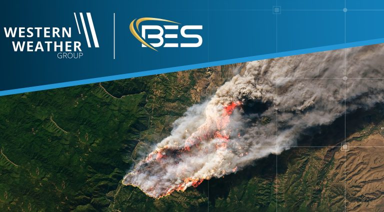
Bent Ear Solutions (BES), an Esri Gold Partner and systems integrator, and Western Weather Group (WWG), a provider of weather forecasting, hardware and monitoring solutions for utilities and energy companies, have announced a partnership to bring calibrated weather observations directly into the GIS systems that utilities and emergency agencies already operate.
Under the partnership, WWG will supply observations from what the company says is a network of more than 8,000 weather stations and 25,000 sensors across North America, while BES connects those feeds into ArcGIS dashboards and incident response tools. The aim is to give utilities and emergency managers a single view of weather and vegetation conditions without the need for new technology.
Wildfire risk is increasingly affecting utilities beyond the western United States, and they are under pressure to document the data behind Public Safety Power Shutoff (PSPS) and outage decisions. The partnership pairs BES’s work on wildfire mitigation planning, outage intelligence and PSPS decision support with WWG’s sensor network.
“When a utility is weighing a de-energization call, the weather has to be on the same screen as the circuits, the crews, high-hazard wildfire areas and customers. We can now put WWG’s highly accurate, location-based observations into the common operating pictures utilities already use,” said Chris McIntosh, CEO of Bent Ear Solutions.
“Utilities have been clear with us about what they need from weather data: it has to be within the same environment where all other relevant information is displayed that drives daily decisions. And it has to hold up six months later when someone asks why the decisions were made and what data was used to support those decisions. That’s what this partnership delivers,” said Steve Miller, chief strategy officer of Western Weather Group.
BES and WWG will host a joint webinar, Assessing wildfire risk before it escalates: Lessons from the fire line and the sensor network, on Wednesday, October 14, 2026, from 2:00 to 3:00 p.m. ET. The session will feature BES’s Russ Johnson, who spent 32 years as a chief fire management officer with the US Forest Service before supporting the development of Esri’s public safety practice, alongside WWG’s Chris Arends, a former Navy meteorologist who built one of the first utility wildfire weather networks in the US at San Diego Gas & Electric.
In related news, Skyfora and New York State Mesonet pilot GNSS water-vapor monitoring in New York City