


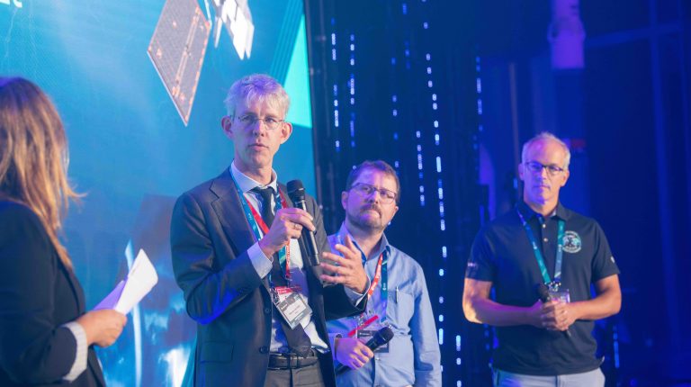
At the MTG-I2 launch event at the European Space Research and Technology Centre in Noordwijk, Meteorological Technology International spoke to Royal Netherlands Meteorological Institute (KNMI) director-general Maarten van Aalst. With MTG-I2 set to bring weather imagery to meteorologists every 2.5 minutes, Aalst explains how higher-frequency observations could enable more precise warnings, improve services for aviation and water management, and give forecasters greater confidence in how severe weather is evolving.
From a user perspective, what’s the biggest practical difference between receiving imagery every 10 minutes and receiving every 2.5 minutes?
In the end, it is about protecting lives and property. If we operated as we did around 20 years ago, it would not have made much of a difference. But now, what we are increasingly doing is providing much more tailored warnings at a very local scale. Previously, when we saw big frontal systems coming in, we would have told an entire province they were at risk of potential thunderstorms for an entire evening – just in case something came their way. What we’re now trying to do is warn in a very tailored way, in very specific places, and that’s where this much higher resolution is important.
It is also useful in the sense that people will no longer be warned about things that aren’t coming their way, so if they do get a warning, they will take it more seriously, and act better on that information.
Of course, aviation will benefit too. The services we provide are super-calibrated. If we can time the use of interruptions on the runways better, a few minutes will make a big difference in their performance.
Can you describe a severe-weather example where the additional observations could make a meaningful difference to a forecast or warning?
Any big storm system that the satellite picks up. Our meteorologists will prepare for nowcasting when they see potential fronts move toward the Netherlands. The sharper the information we get, the better the warnings will be.
Do the 2.5-minute updates primarily give forecasters more time to warn people about developing weather, or does the biggest benefit come from giving them greater confidence about how a situation is evolving?
It is sharper information that you can relay directly, but it is also a better understanding of the system and the way it’s evolving. When a weather system is evolving, there are three channels: the data flow that is used by some customers directly; the processed information, such as our warnings; and human interactions. For example, it might be civil defense systems calling the weather room to ask for information, or one of our meteorologists may be at Schiphol with the air traffic control team. If we can see the way the weather system is developing in 2.5-minute resolution, we can provide more confident answers to our customers.
How do you see MTG-I2 changing the way meteorologists work alongside automated nowcasting systems and AI?
It’s difficult to say, because the applications are evolving so rapidly, and there’s so much more possible now than I would have imagined even just a few months ago. You could say that there’ll be different branches of development that I would expect. If we have better datasets of observations over a longer period of time, this would start paying off because we can train our AI models on that data.
There is also an enormous amount of development in AI tools that are, essentially, blending nowcasting with forecasting – you can combine the nowcasting from the satellite with the forecasting systems, which tells you what is coming your way in the near future. It is this seamless integration in knowing what the risk is now, in minutes, in hours and days, that’s really valuable to our customers.
Looking beyond the meteorologist, where do you expect the biggest practical benefits to be felt?
It will bring benefits to many areas, but one example would be water management.
Water management companies have been modeling big rainfall events. If we had a rainfall system like that which occurred in Ahr Valley in 2021 across the whole country – including in the very flat areas – you would not get a flash flood effect, but it would be too much water for the regular water management systems to get rid of quickly. If you know a big system is coming your way, you might start draining or pumping out water before, rather than waiting until the water has fallen and then having to get rid of too much too quickly.
Are KNMI’s systems and workflows ready for the additional data they will receive when the third generation is complete?
There is definitely work to do, but we have been preparing for that, and our meteorologists in the weather room are also very excited about it. The first layer of benefits is the more frequent, better images that they can interpret to provide immediate value to our customers. But, for instance, the lightning imager is a product we didn’t have before, and we want to blend that with the ground-based lightning detection systems we have now. That is the sort of thing we have been anticipating, and now that we’ve got our hands on this new product, we want to make our services even better.
In related news, MTG-I2 launches, completing Europe’s three-satellite weather constellation