Meteorological Technology International
  • News
    • A-E
      • Agriculture
      • Automated Weather Stations
      • Aviation
      • Climate Measurement
      • Data
      • Developing Countries
      • Digital Applications
      • Early Warning Systems
      • Extreme Weather
    • G-P
      • Hydrology
      • Lidar
      • Lightning Detection
      • New Appointments
      • Nowcasting
      • Numerical Weather Prediction
      • Polar Weather
    • R-S
      • Radar
      • Rainfall
      • Remote Sensing
      • Renewable Energy
      • Satellites
      • Solar
      • Space Weather
      • Supercomputers
    • T-Z
      • Training
      • Transport
      • Weather Instruments
      • Wind
      • World Meteorological Organization
      • Meteorological Technology World Expo
  • Features
  • Online Magazines
    • April 2025
    • January 2025
    • September 2024
    • April 2024
    • Archive Issues
    • Subscribe Free!
  • Opinion
  • Videos
  • Supplier Spotlight
  • Expo
LinkedIn Twitter Facebook
  • Sign-up for Free Weekly E-Newsletter
  • Meet the Editors
  • Contact Us
  • Media Pack
LinkedIn Facebook
Subscribe
Meteorological Technology International
  • News
      • Agriculture
      • Automated Weather Stations
      • Aviation
      • Climate Measurement
      • Data
      • Developing Countries
      • Digital Applications
      • Early Warning Systems
      • Extreme Weather
      • Hydrology
      • Lidar
      • Lightning Detection
      • New Appointments
      • Nowcasting
      • Numerical Weather Prediction
      • Polar Weather
      • Radar
      • Rainfall
      • Remote Sensing
      • Renewable Energy
      • Satellites
      • Solar
      • Space Weather
      • Supercomputers
      • Training
      • Transport
      • Weather Instruments
      • Wind
      • World Meteorological Organization
      • Meteorological Technology World Expo
  • Features
  • Online Magazines
    1. April 2025
    2. January 2025
    3. September 2024
    4. April 2024
    5. January 2024
    6. September 2023
    7. April 2023
    8. Archive Issues
    9. Subscribe Free!
    Featured
    April 15, 2025

    In this Issue – April 2025

    By Web TeamApril 15, 2025
    Recent

    In this Issue – April 2025

    April 15, 2025

    In this Issue – January 2025

    December 13, 2024

    In this Issue – September 2024

    August 8, 2024
  • Opinion
  • Videos
  • Supplier Spotlight
  • Expo
Facebook LinkedIn
Subscribe
Meteorological Technology International
Early Warning Systems

AI-updated vegetation maps result in improved wildfire forecasts

Dan SymondsBy Dan SymondsJune 6, 20225 Mins Read
Share LinkedIn Facebook Twitter Email
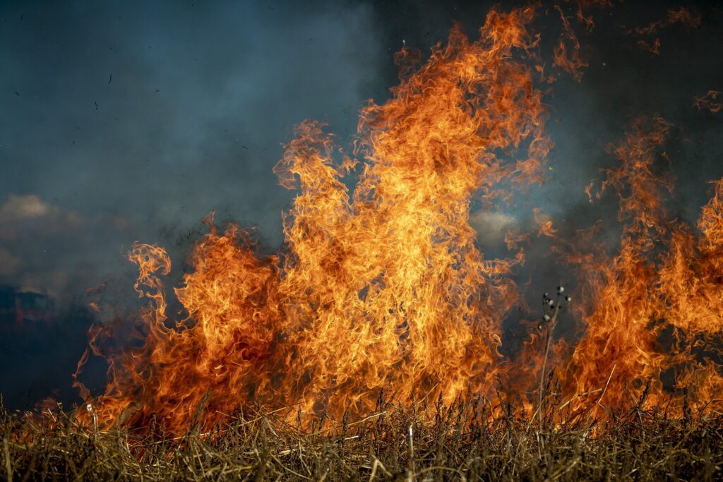
Credit: Pixabay
Share
LinkedIn Facebook Twitter Email

The US National Center for Atmospheric Research (NCAR) has developed a new technique that employs artificial intelligence to update vegetation maps used by wildfire computer models to accurately predict fire behavior and spread.

In a recent study, scientists demonstrated the method using the 2020 East Troublesome Fire in Colorado, which burned through land that was mischaracterized in fuel inventories as being healthy forest. In fact, the fire, which grew explosively, scorched a landscape that had recently been ravaged by pine beetles and windstorms, leaving significant swaths of dead and downed timber.

The research team compared simulations of the fire generated by a wildfire behavior model developed at NCAR using both the standard fuel inventory for the area and one that was updated with AI. The simulations that used the AI-updated fuels did a significantly better job of predicting the area burned by the fire, which ultimately grew to more than 76,900ha of land on both sides of the continental divide.

“One of our main challenges in wildfire modeling has been to get accurate input, including fuel data,” said Amy DeCastro, NCAR scientist and lead author. “In this study, we show that the combined use of machine learning and satellite imagery provides a viable solution.”

The modeling simulations were run at the NCAR-Wyoming Supercomputing Center on the Cheyenne system.

Using satellites to account for pine beetle damage

For a model to accurately simulate a wildfire, it requires detailed information about the current conditions. This includes the local weather and terrain as well as the characteristics of the plant matter that provides fuel for the flames.

The gold standard of fuel data sets is produced by LandFire, a federal program that produces several geospatial data sets including information on wildfire fuels. The process of creating these wildfire fuel data sets is extensive and incorporates satellite imagery, landscape simulation and information collected in person during surveys. However, the amount of resources necessary to produce them means that, practically speaking, they cannot be updated frequently, and disturbance events in the forest – including wildfires, insect infestations and development – can radically alter the available fuels in the meantime.

In the case of the East Troublesome Fire, which began in Grand County, Colorado, and burned east into Rocky Mountain National Park, the most recent LandFire fuel data set was released in 2016. In the intervening four years, the pine beetles had caused widespread tree mortality in the area.

To update the fuel data set, the researchers turned to the Sentinel satellites, which are part of the European Space Agency’s Copernicus program. Sentinel-1 provides information about surface texture, which can be used to identify vegetation type, while Sentinel-2 provides information that can be used to infer the plant’s health from its greenness. The scientists fed the satellite data into a machine learning model known as a ‘random forest’ that they had trained on the US Forest Service’s Insect and Disease Detection Survey. The survey is conducted annually by trained staff who estimate tree mortality from the air.

The result was that the machine learning model was able to accurately update the LandFire fuel data, turning the majority of the fuels categorized as ‘timber litter’ or ‘timber understory’ to ‘slash blowdown’ – the designation used for forested regions with heavy tree mortality.

“The LandFire data is super valuable and provides a reliable platform to build on,” DeCastro said. “Artificial intelligence proved to be an effective tool for updating the data in a less resource-intensive manner.”

To test the effect the updated fuel inventory would have on wildfire simulation, the scientists used a version of NCAR’s Weather Research and Forecasting model, known as WRF-Fire, which was specifically developed to simulate wildfire behavior.

When WRF-Fire was used to simulate the East Troublesome Fire using the unadjusted LandFire fuel data set, it substantially underpredicted the amount of area the fire would burn. When the model was run again with the adjusted data set, it was able to predict the area burned with a much greater degree of accuracy, indicating that the dead and downed timber helped fuel the fire’s spread much more so than if the trees had still been alive.

The new research at NCAR is part of a larger trend of investigating possible AI applications for wildfire, including efforts to use AI to more quickly estimate fire perimeters. NCAR researchers are also hopeful that machine learning may be able to help solve other persistent challenges for wildfire behavior modeling. For example, machine learning may be able to improve our ability to predict the properties of the embers generated by a fire (how big, how hot and how dense) as well as the likelihood that those embers could cause spot fires.

“We have so much technology and so much computing power and so many resources at our fingertips to solve these issues and keep people safe,” said Timothy Juliano, NCAR scientist and study co-author. “We’re well positioned to make a positive impact; we just need to keep working on it.”

Previous ArticleRainfall across Europe disrupted by greenhouse gas emissions, UK Met Office finds
Next Article Carbon dioxide levels 50% higher than pre-industrial era

Read Similar Stories

Digital Applications

Tianjin University AI model turns street cameras into rainfall sensors

May 14, 20253 Mins Read
Climate Measurement

WMO releases State of the Climate in Africa 2024 report

May 12, 20255 Mins Read
Early Warning Systems

WMO strengthens Nepal’s early warning services

May 8, 20253 Mins Read
Latest News

EXCLUSIVE INTERVIEW: Ramla Qureshi, McMaster University’s Department of Civil Engineering

May 14, 2025

Tianjin University AI model turns street cameras into rainfall sensors

May 14, 2025

University of Exeter launches £5m, five-year project to model Sun’s atmosphere

May 13, 2025

Receive breaking stories and features in your inbox each week, for free


Enter your email address:


Supplier Spotlights
  • EWR Radar Systems
Latest Job Postings
  • Researcher/Engineer to support data-based weather forecasting (R2/RE2)

    • Barcelona
    • Barcelona Supercomputing Center - Centro Nacional de Supercomputación
    • Full Time
Getting in Touch
  • Contact Us / Advertise
  • Meet the Editors
  • Download Media Pack
  • Free Weekly E-Newsletter
Our Social Channels
  • Facebook
  • LinkedIn
© 2025 UKi Media & Events a division of UKIP Media & Events Ltd
  • Cookie Policy
  • Privacy Policy
  • Terms and Conditions
  • Notice and Takedown Policy

Type above and press Enter to search. Press Esc to cancel.

We use cookies on our website to give you the most relevant experience by remembering your preferences and repeat visits. By clicking “Accept”, you consent to the use of ALL the cookies.
Cookie settingsACCEPT
Manage consent

Privacy Overview

This website uses cookies to improve your experience while you navigate through the website. Out of these, the cookies that are categorized as necessary are stored on your browser as they are essential for the working of basic functionalities of the ...
Necessary
Always Enabled

Necessary cookies are absolutely essential for the website to function properly. These cookies ensure basic functionalities and security features of the website, anonymously.

CookieDurationDescription
cookielawinfo-checbox-analytics11 monthsThis cookie is set by GDPR Cookie Consent plugin. The cookie is used to store the user consent for the cookies in the category "Analytics".
cookielawinfo-checbox-functional11 monthsThe cookie is set by GDPR cookie consent to record the user consent for the cookies in the category "Functional".
cookielawinfo-checbox-others11 monthsThis cookie is set by GDPR Cookie Consent plugin. The cookie is used to store the user consent for the cookies in the category "Other.
cookielawinfo-checkbox-necessary11 monthsThis cookie is set by GDPR Cookie Consent plugin. The cookies is used to store the user consent for the cookies in the category "Necessary".
cookielawinfo-checkbox-performance11 monthsThis cookie is set by GDPR Cookie Consent plugin. The cookie is used to store the user consent for the cookies in the category "Performance".
viewed_cookie_policy11 monthsThe cookie is set by the GDPR Cookie Consent plugin and is used to store whether or not user has consented to the use of cookies. It does not store any personal data.

Functional

Functional cookies help to perform certain functionalities like sharing the content of the website on social media platforms, collect feedbacks, and other third-party features.

Performance

Performance cookies are used to understand and analyze the key performance indexes of the website which helps in delivering a better user experience for the visitors.

Analytics

Analytical cookies are used to understand how visitors interact with the website. These cookies help provide information on metrics the number of visitors, bounce rate, traffic source, etc.

Advertisement

Advertisement cookies are used to provide visitors with relevant ads and marketing campaigns. These cookies track visitors across websites and collect information to provide customized ads.

Others

Other uncategorized cookies are those that are being analyzed and have not been classified into a category as yet.

SAVE & ACCEPT
Powered by