


As the Copernicus Sentinel-6 Michael Freilich satellite passes review in preparation for launch this November, MTI looks at the need for continuous sea height measurements and how the satellite’s data will be used.
Sea level is rising at an increasing rate. Figures from NOAA and ESA show that global sea level rose by an average of 3.2mm a year between 1993 and 2018. However, the rate of rise is speeding up, and is now averaging 4.8mm per year.
The higher the sea level the greater the effect on flooding, storm damage and shoreline erosion, which is why it’s imperative we closely watch this troubling trend – a key indicator of climate change.
Over the last 30 years, a series of missions have monitored sea surface height, including the Topex-Poseidon and Jason reference altimeters complemented by polar orbiting missions including ERS, Envisat, CryoSat and Copernicus Sentinel-3. The Copernicus Sentinel-6 Michael Freilich satellite will be the next to take on the role of the reference altimeter, jointly developed by the European Space Agency (ESA), NASA, EUMETSAT and the National Oceanic and Atmospheric Administration (NOAA), with support from CNES.
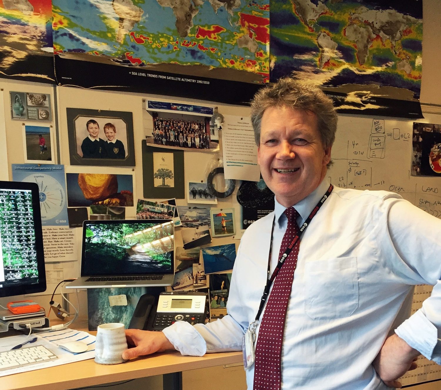
All these satellites have used altimeters to provide detailed data, calculating sea surface height by measuring the time it takes for radar pulses to reach the surface and return. This technology revolutionized oceanography, according to Craig Donlon (below), an ESA Sentinel-6 mission scientist.
“Altimetry from space has been a revolution in oceanography; it’s enabled us to get unprecedented views of the ocean and its dynamics,” Donlon says. “Altimeters measure the vertical height of the ocean surface with fine precision and accuracy, allowing us to map mean sea level trends, ocean movements, surface wave heights and windspeed over the last 30 years.”
Passing the baton
This latest mission consists of two identical satellites that will launch approximately five years apart. Having recently passed its qualification and acceptance review, the first satellite, Sentinel-6 Michael Freilich, is scheduled to launch on November 10 from Vandenberg Air Force Base, California. Toward the end of its lifetime in 2025, its successor Sentinel-6B will launch, enabling uninterrupted sea level observations up to 2030.
Orbiting at 1,300km (807 miles), the Sentinel-6 satellites will map up to 95% of the Earth’s ice-free oceans every 10 days, providing ocean forecasting systems with important information on ocean currents, windspeed and significant wave height. They will follow a very specific orbit of 66° inclination relative to the equator, a dedicated reference orbit that has been occupied by satellites since 1992 because “this is a high altitude orbit with minimum drag – important when tracking the position of the satellite – and one that has minimum impact from the ocean tides that complicate your measurements,” according to Donlon.
The satellites will carry a range of equipment, with the main instrument being the Poseidon-4 synthetic aperture radar (SAR) altimeter. This will measure sea surface height and ocean roughness from which surface waves and winds are computed. The satellites’ AMR-C climate quality advanced microwave radiometer, combined with satellite location data, will ensure the precision and stability of the altimeter’s measurements. Donlon explains, “The microwave radiometer is a passive instrument that receives microwave emissions from the Earth’s surface. It has three channels, and by looking at the differences between them, we can deduce how the speed of the radar energy is modified by water vapor in the atmosphere between the satellite and ocean, which is essential for calculating accurate mean sea level.”
These two instruments work together to provide the principle measurements, but there are a number of other devices on board. A secondary mission objective is to help weather prediction by measuring temperature and humidity at different vertical levels in the troposphere. The Global Navigation Satellite System Radio Occultation (GNSS-RO) instrument will determine this information using radio-occultation sounding, which analyzes changes in signals from global navigation system satellites passing through the atmosphere.
The Sentinel-6’s precise orbit determination (POD) instruments include a further GNSS, a DORIS receiver (doppler orbitography and radio positioning integrated by satellite) and a laser retroflector array (LRA). The data from all these will be processed by the POD service.
“In terms of data output, there’s a near real-time three-hour product which can be used by ocean forecasting systems, but they have to make assumptions on the uncertainties associated with the precise orbit positioning of the spacecraft,” Donlon says. “Then, 36 hours later you get an update of that data set using the latest reprocessed orbit data. After 60 days you get the best possible climate data record.”
The tandem phase
Whenever you introduce a new technology or instrument into your reference, you have to be very careful to understand the differences between the systems you’re using. Therefore, the Sentinel-6 team plans to fly its new satellite back-to-back with Jason-3 for the first 12 months.
“This tandem phase is an important part of this particular mission because it really brings new SAR altimetry measurements into the reference altimeter time series, which is used to compute and monitor the mean sea level,” says Donlon.
“We’ll maneuver the satellite so it’s flying exactly 30 seconds behind Jason-3. Then, during those first 12 months, we’ll obtain the same measurements from two differently designed altimeters from more or less the exact same point in space and time. We can compare these and make sure the Sentinel-6 technology doesn’t introduce an artificial ‘jump’ into our climate time series.”
At the end of the tandem stage a number of things can happen, but typically the old satellite is placed into a different orbit.
“That’s a decision for the Jason-3 satellite operator,” explains Donlon. “In the past a geodetic orbit has been used; the orbit is shifted and instead of doing a 10-day repeat it starts to make much finer measurements in space at less frequent intervals. That way you can map variability of the sea surface and start looking at geodesy applications. For example, altimetry has been used to map sea mounts.”
Improving marine meteorology
Although Sentinel-6’s primary objective is to monitor sea level variability and the rate of sea level rise, there are many applications for the data gathered, including contributing to ocean forecasting.
“The prediction of sea state is important business for maritime transport and operations,” says Donlon. “Heavy weather is to be avoided using ocean forecasts fed by satellite altimetry. If it’s too bad, you can’t perform marine operations such as heavy lifts or service surface rigs – ocean forecasting provides a heads up of bad conditions.
“The altimeter gives you an integrated measurement of ocean flow and using data assimilation techniques, just like weather forecasting, you can get a much better estimate of the ocean state. Measurements from space can be used to nudge models toward better forecasts.”
Windspeeds are also widely used in marine industries, and the data gathered by Sentinel-6 will improve forecasts of weather conditions ahead, helping predict storm intensity and warn coastal communities to prepare for storm surges. And the applications don’t end there. Donlon notes that the altimeter can also be used over rivers and lakes: “Some areas don’t have river or lake gauge stations or might be in parts of the world that are hard to reach. In these cases, the altimeter can be used to measure the height of a lake or a large river against reference datum.
“By using a stage discharge relationship, you can compute river flow, and by monitoring the height of lakes and reservoirs you can work out the volume of water available. This is useful for water management; a growing application as climate change gathers pace.”
Donlon believes we’re in the golden age of altimetry and you can see why. It’s an exciting time for the scientists working in this area and the applications for altimetry continue to grow.