


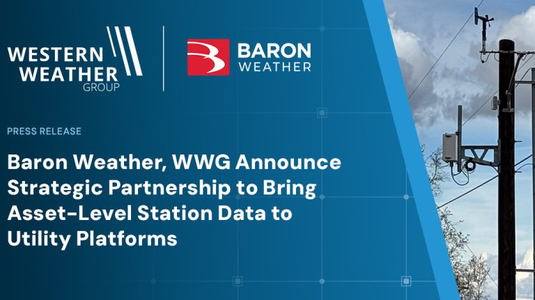
Baron Weather and Western Weather Group have announced a partnership that allows mutual clients to bring Western Weather Group station observations directly into Baron Lynx and Baron’s Esri ArcGIS weather layers.
Utilities and other critical infrastructure operators that work with both companies can now view real-time observations from their own monitoring networks alongside radar, forecast models, storm tracking and infrastructure data within a single operational picture.
Western Weather Group says it supports more than 8,000 professionally installed and maintained weather stations and 28,000 sensors across more than 35 states. According to both companies, previously much of this data lived in systems separated from the visualization and briefing tools utility meteorologists and operations teams use daily.
“Precision weather sensors are giving utilities tremendous value in their ability to mitigate risk before and during environmental impacts to the grid,” said Steve Miller, chief strategy officer at Western Weather Group. “What this partnership adds is speed and context. Our mutual clients can now view their station data inside the Baron systems they already work in, including Lynx and ArcGIS, so calibrated observations sit next to the forecast, the radar and the assets they protect.”
Within Baron Lynx, meteorologists can build operational briefings for grid operations, storm response, vegetation management and executive audiences with station observations layered over service territories and assets. Through Baron’s ArcGIS weather layers, the same observations feed into mapping environments used for situational awareness and resource planning.
“Our utility, oil and gas, and renewable-energy customers rely on Lynx and our ArcGIS weather layers to turn weather data into operational guidance – where to stage crews, when to pause work, which assets face the greatest exposure over the next 24 to 72 hours,” said Matt Gaffner, a solutions engineer at Baron Weather. “Adding observations from a client’s own Western Weather Group network closes the loop between forecast and field.”
The combined capability supports wildfire condition monitoring and public safety power shutoff decision support, severe storm preparation and restoration planning, lightning awareness near active work sites, and verification of forecasts against on-the-ground measurements. Western Weather Group stations are maintained under managed service contracts with annual NIST-traceable calibration.
The integration is available now to mutual clients of both companies.
In related news, ForecastWatch launches inaugural Most Accurate Forecast Awards