


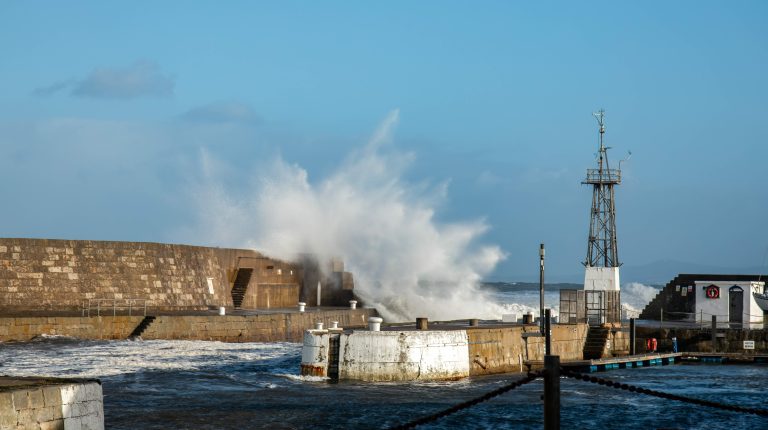
Researchers from the Met Office and the University of Reading have identified that a prolonged heatwave in the North Sea played a significant role in intensifying the impacts of Storm Babet on October 18-21, 2023.
The storm was one of the UK’s most disruptive of the year, bringing exceptional rainfall to Eastern Scotland with 150mm to 200mm falling in the wettest areas and the Met Office issuing two red severe weather warnings for rain.
The study, Marine heatwave amplifies extreme multi-hazards of extratropical cyclone Babet, published in the Natural Hazards and Earth System Sciences journal, uncovered that unusually warm sea temperatures increased rainfall, river flows, storm energy and wave energy, which was estimated to amplify the impacts of the storm by between 9% and 20%.
The findings demonstrate that marine heatwaves can affect weather on land. Waters around the UK are currently experiencing widespread marine heatwave conditions, which earlier in July reached up to Category 4, classified as “extreme”, a level rarely recorded in British waters. This is linked with recurrent atmospheric heatwaves, with long-lasting sunny and calm conditions giving sea surface temperatures little opportunity to cool.
Lasting almost seven weeks, from September 1 to October 21, 2023, the North Sea marine heatwave warmed the full depth of the shallow basin by around 0.8°C-1°C. These unusually warm conditions resulted from persistent anticyclonic weather, enabling the ocean to absorb and retain excess heat.
Storm Babet induced a low-level wind jet, a fast-moving stream of air close to the ground that helps storms grow stronger. Cmpounding the effect of heavier rain from the jet, the warmer than average waters increased evaporation, contributing to around 5% heavier rainfall over Eastern Scotland during the storm; deepened the storm slightly by lowering central pressure by around 1-2hPa; and enhanced atmospheric instability, which strengthened the jet.
For the first time, researchers used the UKC4 configuration, the Met Office’s kilometer-scale regional coupled modellng system that brings together detailed simulations of the atmosphere, land, ocean and waves into a single framework. Made possible by the Met Office’s supercomputing capacity, UKC4 enables all elements to interact in real time, capturing the two-way exchange of heat, moisture and momentum between the sea and the atmosphere. Covering the UK and surrounding shelf seas at high resolution, it also integrates land processes such as river flows, enabling scientists to assess multiple hazards together.
By comparing the heatwave event with a scenario in which the North Sea had been cooler, the warm sea conditions were found to have amplified several key hazards associated with Storm Babet, including:
- River flows, up by 12-18%, increasing flood risk;
- Storm surge, 20% higher; and
- Coastal wave power, strengthened by around 9%.
Dr Ségolène Berthou, air-sea interaction specialist at the Met Office and report author, said, “Over 90% of the excess heat generated by greenhouse gas emissions has been absorbed by the global ocean. Without significant reductions in global emissions, near permanent marine heatwave conditions around the UK could emerge as early as mid-century.”
Piyali Goswami, PhD researcher in the department of meteorology at the University of Reading and report author, said, “In shallow shelf seas such as the North Sea, accumulated heat cannot dissipate into the deeper ocean, increasing the likelihood that future storms with similar characteristics to storm Babet will interact with unusually warm waters.”
Related news, More than 2,700 estimated excess deaths in England and Wales during May and June heatwaves